Gary Acklin Part 107 CertifiedTWIC
Insured 225-806-3245gwacklin@gmail.com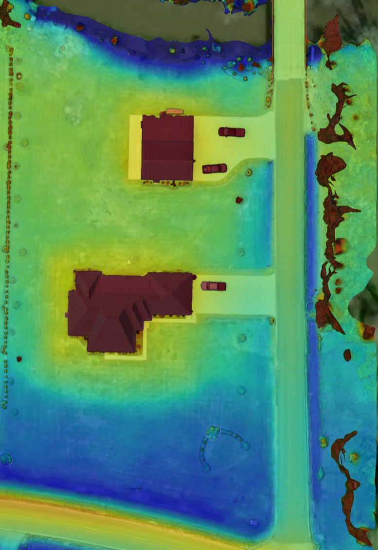
With the onboard AI and laser capability, we can map a property and within an hour or so, give the owner good / accurate intel on the drainage capability of a given area. Doesn’t matter if it’s a half-acre or 500 acres, this valuable information can tell them how a house sits relative to the land around it.
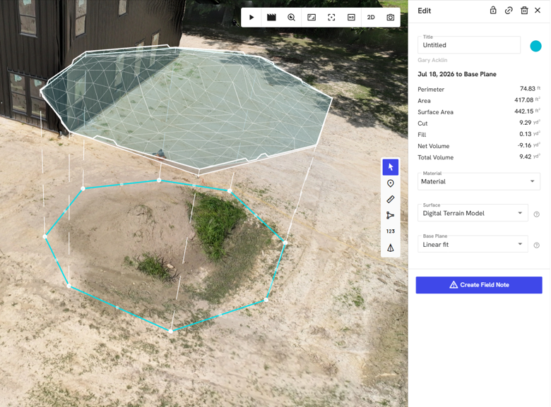
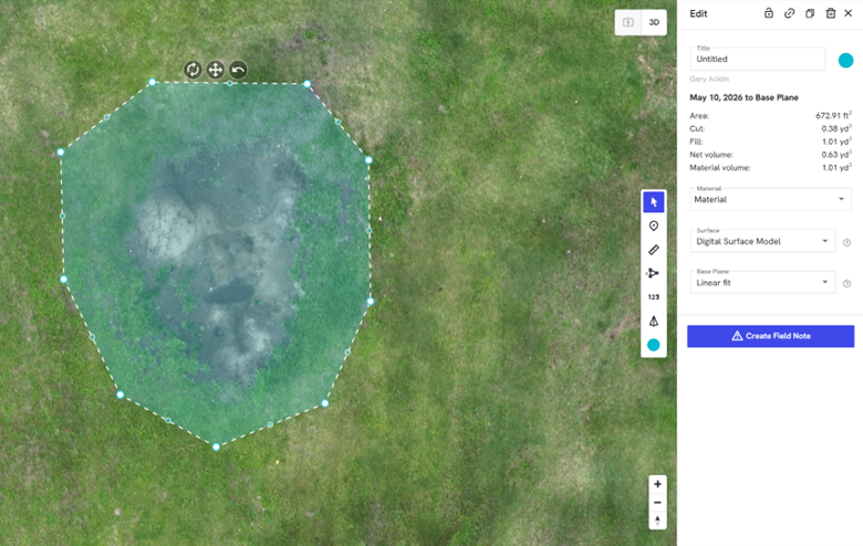
With the aerial platforms we provide, fast and highly accurate data can be delivered with the onboard AI feature. We can accurately tell the volume of a given pile whether it’s dirt, chips, gravel, etc. We can help with progress tracking of a construction site or if you just want to know how many yards of dirt is in a given pile, we can get you that information.
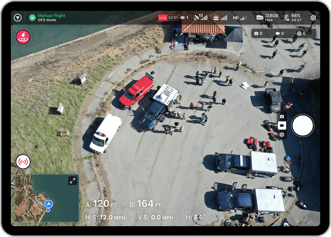
In today’s fast-paced environment, the ability to view drone imagery in real time is a gamechanger. At Acklin Aerial, we provide live streaming capabilities—both wired and wireless—directly to our clients’ devices. This allows stakeholders to observe operations as they happen, enhancing decision-making and efficiency.
For inspections, this means inspectors can monitor conditions live without needing to be physically present in hazardous or hard-to-reach areas making the decision-making process more streamline and your facility back online much faster.
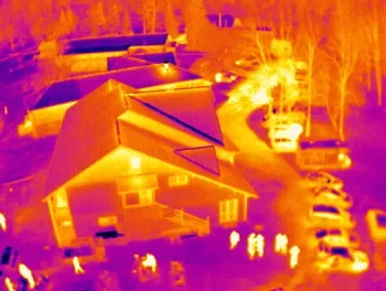
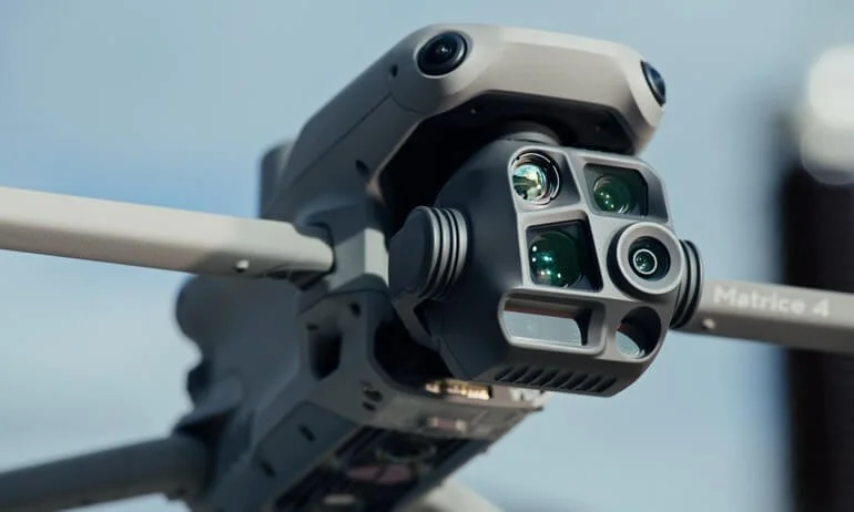
At Acklin Aerial, our advanced thermal drone technology gives you a different view—one that can see what the eye can’t. Whether you need nighttime search and recovery or a closer look at your property, our thermal capabilities provide fast, accurate aerial imaging when traditional methods fall short.
Thermal imaging is also an effective way to identify potential roof issues, including areas of moisture intrusion, insulation problems, and abnormal heat patterns. By quickly identifying temperature differences across a roof, we can help pinpoint areas that may need further inspection—saving you time, money, and unnecessary guesswork.
When visibility matters, see beyond the darkness with Acklin Aerial.

Precision mapping feature provides surveyors, engineers, and geospatial teams with a reliable, high-accuracy aerial mapping platform optimized for fast deployment and consistent data quality. This service delivers detailed imaging, centimeter-level RTK positioning, and efficient on-site workflow integration.
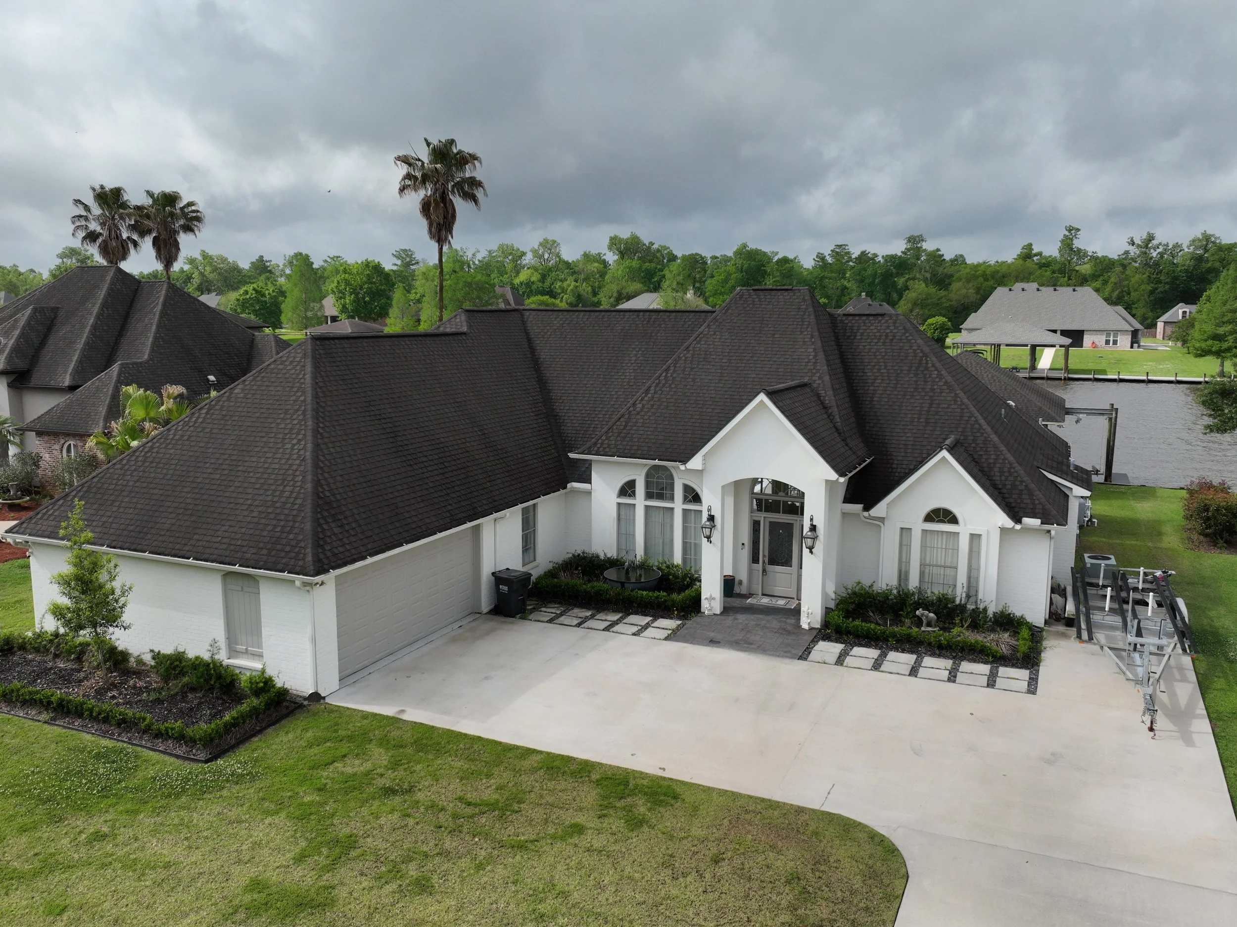
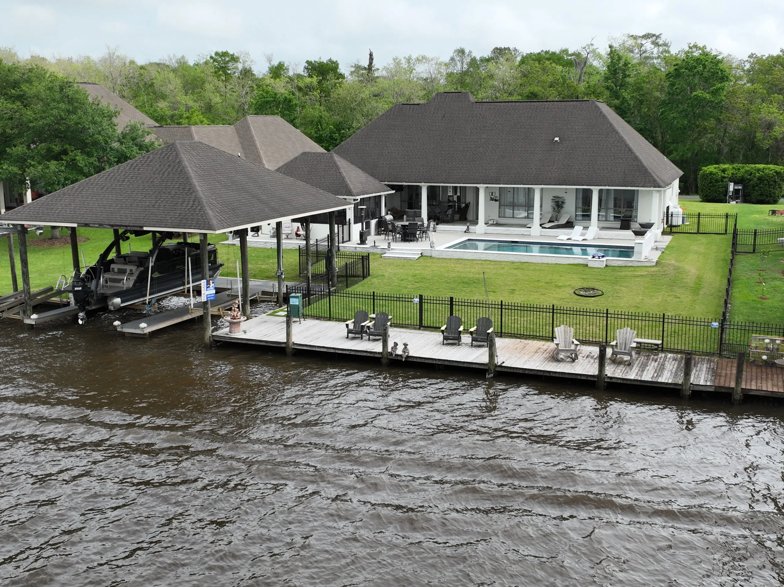
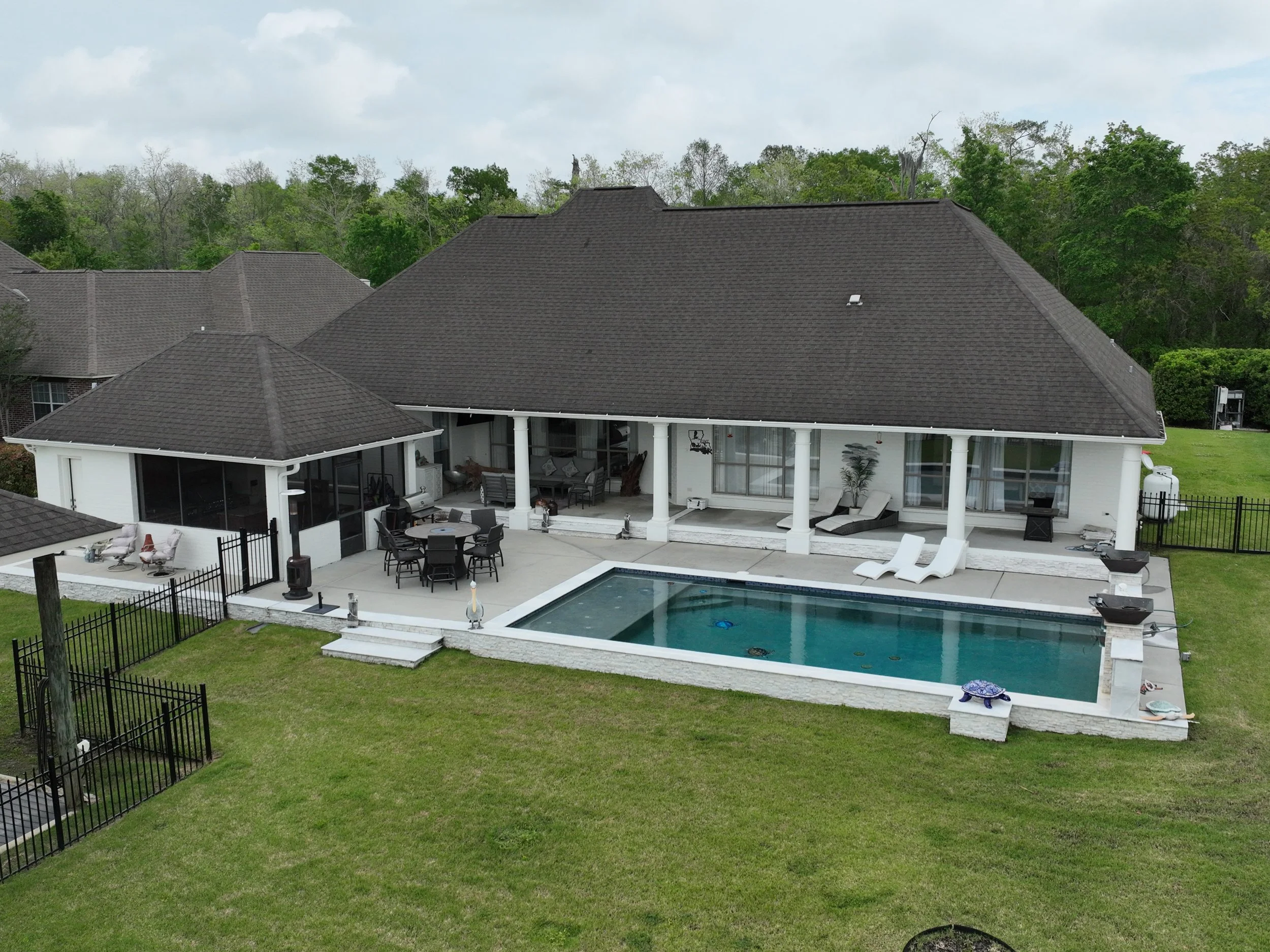
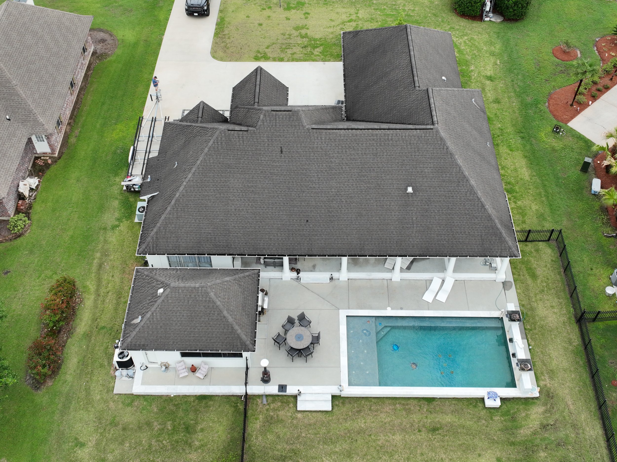
Buyers today are looking for properties that not only meet their needs but also capture their imagination. Aerial footage can help portray the property living experience in a way that static images simply cannot. At Acklin Aerial, we will help tell the story of the property you are offering.
No results match your search. Try removing a few filters.
Gary Acklin Part 107 CertifiedTWIC
Insured 225-806-3245gwacklin@gmail.com