Capture Timeless Moments with Expert Photography
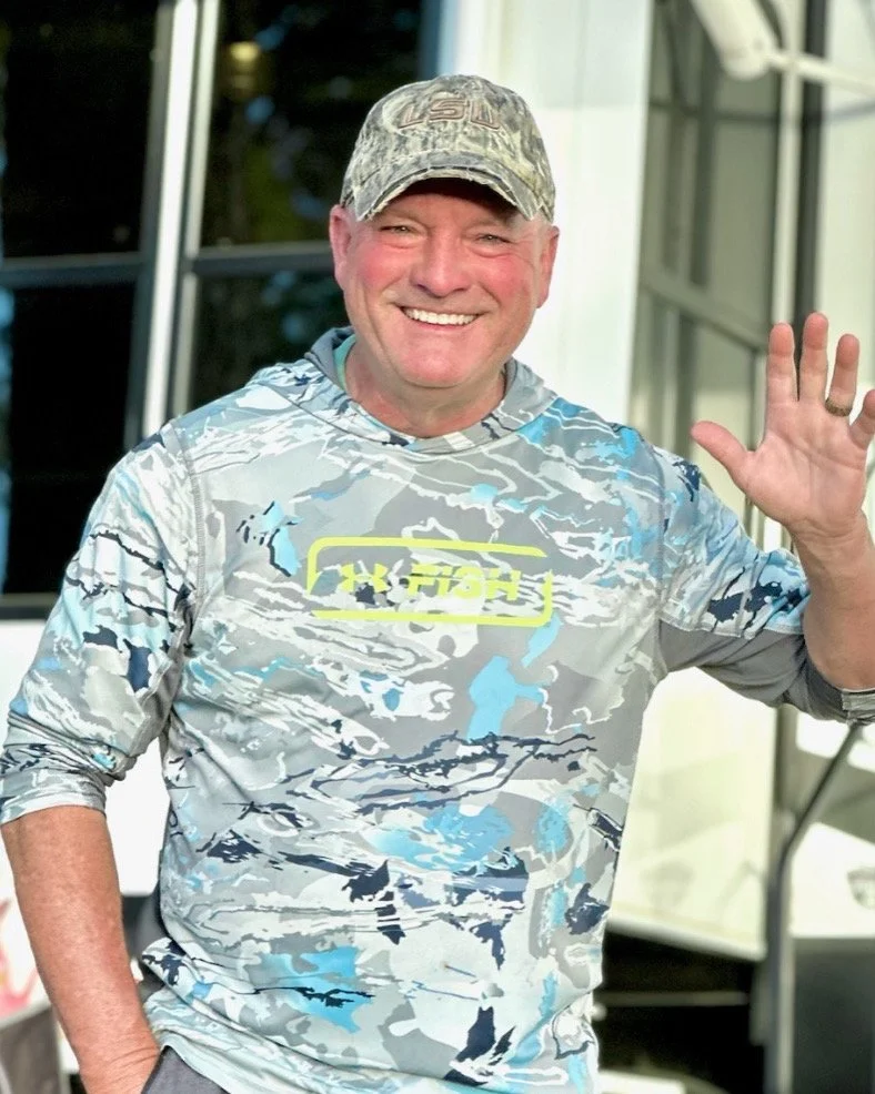
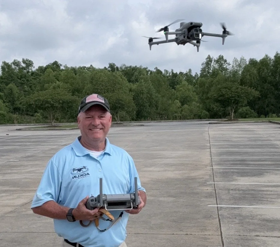
Gary Acklin
Part 107 Certified
TWIC Certified
Insured
225-806-3245
Located in Southeast Louisiana
Our Services
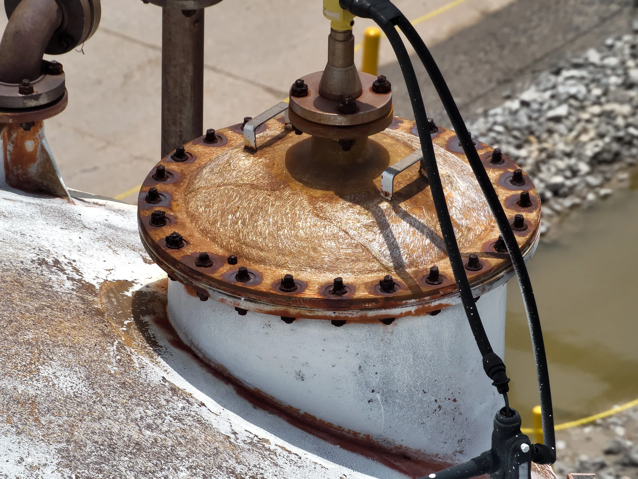
With the platforms we use, we can quickly and effectively document the condition of property you may be looking to purchase or already own. If you want a very detailed satellite view of your property, called “Mapping”, we offer that as well.
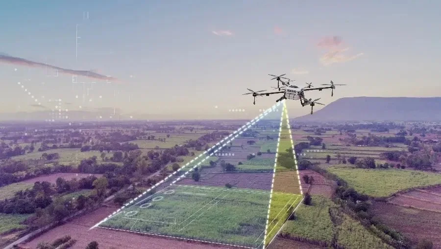
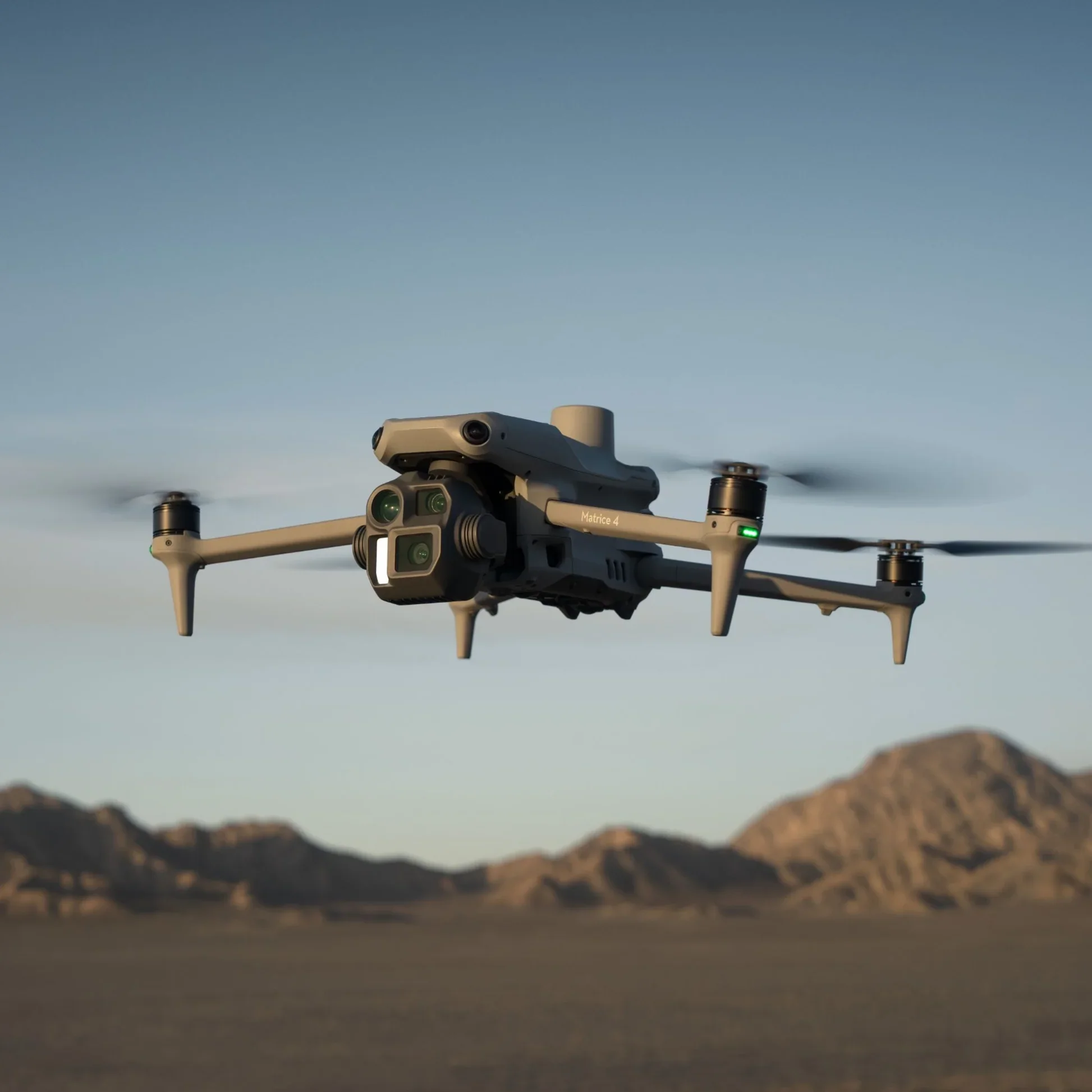
Precision mapping feature provides surveyors, engineers, and geospatial teams with a reliable, high-accuracy aerial mapping platform optimized for fast deployment and consistent data quality. This service delivers detailed imaging, centimeter-level RTK positioning, and efficient on-site workflow integration.
Buyers today are looking for properties that not only meet their needs but also capture their imagination. Aerial footage can help portray the property living experience in a way that static images simply cannot. At Acklin Aerial, we will help tell the story of the property you are offering.
Our Services
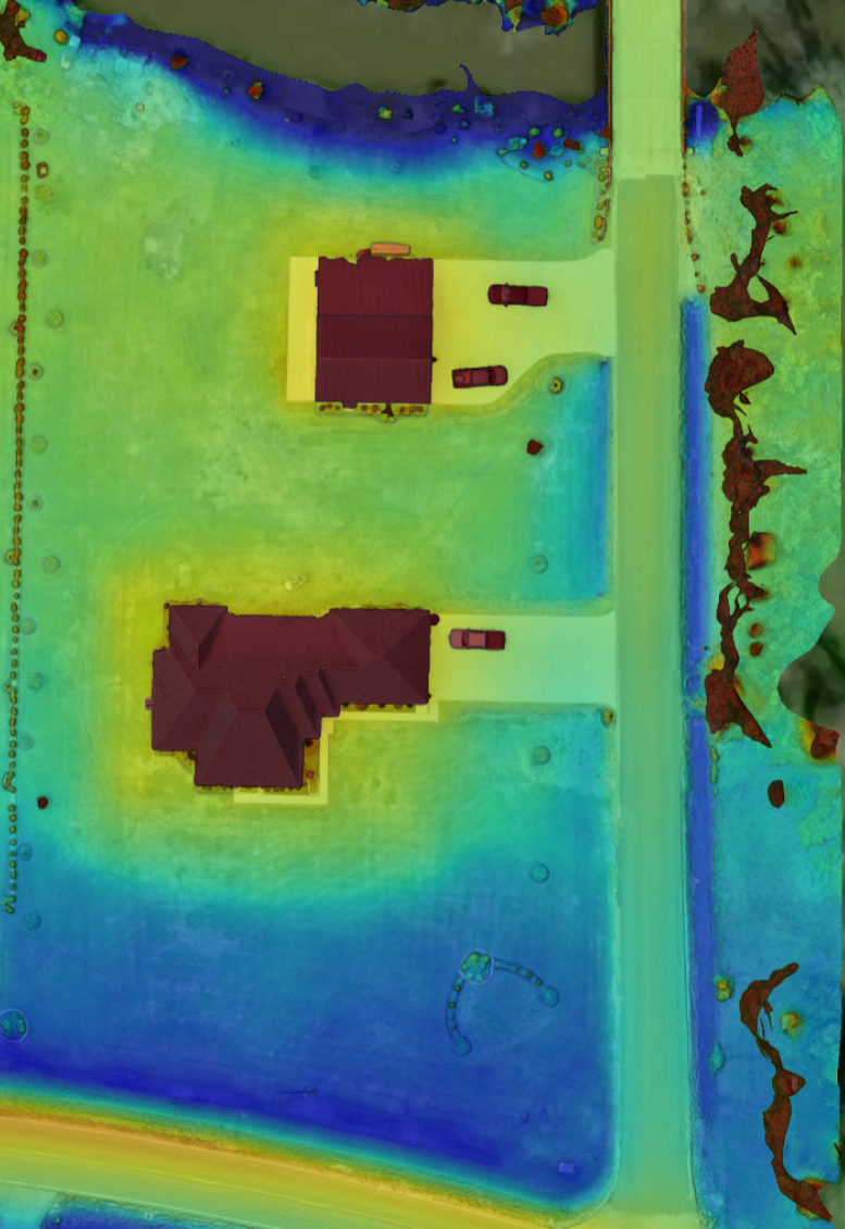
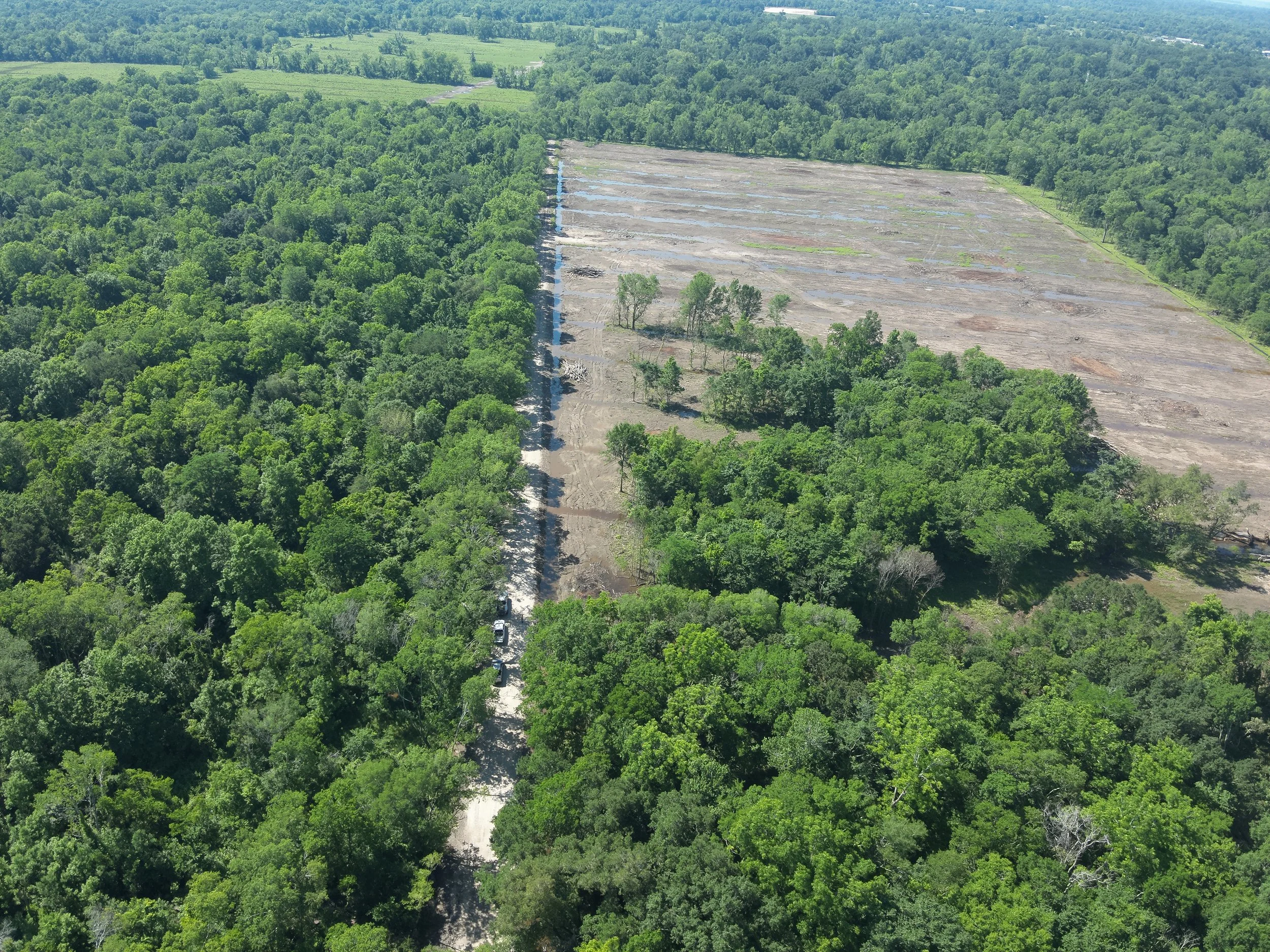
With the onboard AI and laser capability, we can map a property and within minutes, give the owner good / accurate intel on the drainage capability of a given area. Doesn’t matter if it’s a half-acre or 500 acres, this valuable information can tell them how a house sits relative to the land around it. We also have the ability to map an area and quickly calculate volumes in cubic yards or feet in a given pile…no matter if it’s dirt, gravel, chips, etc…we can quickly and accurately gather this information.
In today’s fast-paced environment, the ability to view drone imagery in real time is a gamechanger. At Acklin Aerial, we provide live streaming capabilities—both wired and wireless—directly to our clients’ devices. This allows stakeholders to observe operations as they happen, enhancing decision-making and efficiency.
For inspections, this means inspectors can monitor conditions live without needing to be physically present in hazardous or hard-to-reach areas making the decision-making process more streamline and your facility back online much faster.
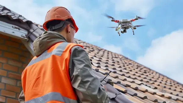
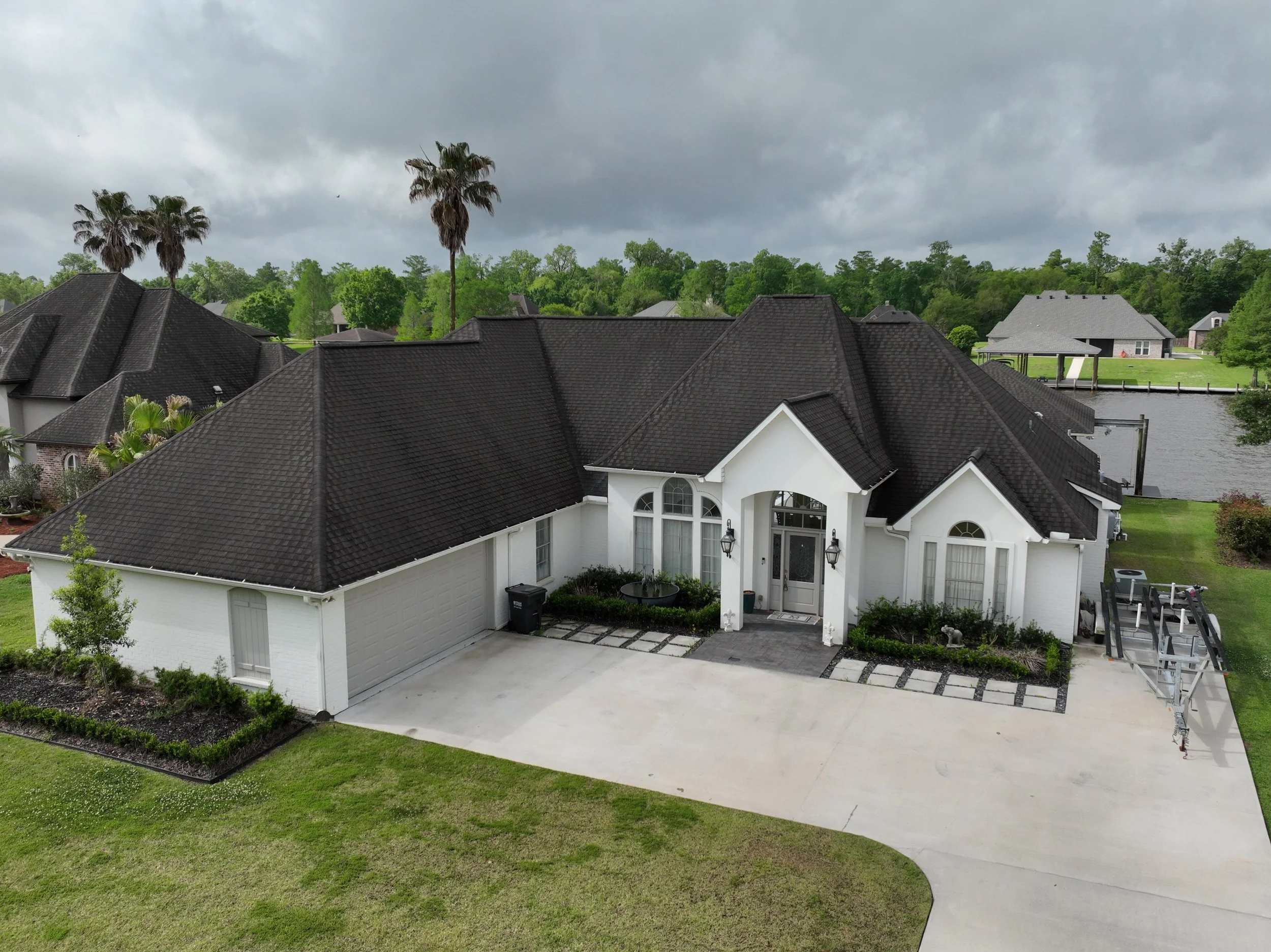
With the aerial platforms we provide, fast and highly accurate data can be delivered—making roof inspections safer, more efficient, and more cost-effective
About
our company
At Acklin Aerial, our passion for professional aerial imagery drives our commitment to capturing and documenting what’s important to you or your business with unrivaled expertise and attention to detail. We blend advanced technology with state-of-the-art aerial platforms to provide our clients with images that are important to them and their business.